
The Ring Road Turned Hyderabad Inside Out
A road that changes travel time is common. A road that changes where people believe they can live is rare. The ORR did the second thing to Hyderabad, and the western arc is where the consequences are still unfolding.
Before the ring, a lorry going from Patancheru to Shamshabad drove through the middle of Hyderabad. So did a family visiting relatives across town, and an engineer commuting between two suburbs that sat almost beside each other on a map. Every cross-city journey was routed through the congested core, because there was no other way around.
That single fact set a ceiling on how large Hyderabad could grow. In a radial city the centre is the bottleneck for everything, and the further out you live, the more of the centre you must eat.
The ring changed the city's topology, not just its travel times
A 158-kilometre loop did something a hundred flyovers could not. It let two points on the periphery reach each other without touching the core.
The airport at Shamshabad connected to the employment core at Gachibowli in one expressway arc. Patancheru's industrial belt connected to the airport without a signal. In network terms Hyderabad stopped being a hub-and-spoke city and became a mesh — and mesh cities grow in directions that radial cities cannot.
The deeper change was to the answer people gave when asked where the city ends. It stopped being a municipal boundary. It became the ring, and then some distance past it. Land that was "outside Hyderabad" on a Monday was "inside the ORR's orbit" by the following year, and the gap between those two phrases has been worth a great deal to the people who owned it.
The ring rewards access, not adjacency
Ring roads do not distribute their benefit along their length. They deliver it at interchanges, where expressway speed converts into local access. Around each of those valves a small economy assembles in a familiar order: fuel stations, then logistics yards, then layouts, then gated communities, then schools.
You can read the ring today as a set of these economies at different stages. The airport arc matured early, pulled by the terminal. The Gachibowli and Financial District exits matured fastest, sitting beside the strongest employment magnet in the state. On the western arc, Exit 3 on the Patancheru side is the doorway to the plotted belt running through Tellapur, Mokila and Shankarpally.
Which produces the rule that trips up most buyers. A parcel ten kilometres from a working interchange with a decent arterial in between is better placed than a parcel two kilometres from the carriageway with no lawful way onto it. Frontage on a ring you cannot join is scenery.
The western arc mattered most because of what sat at each end
Every arc has a story. The western one is the consequential story for residential land, because it joins the city's employment core to its expansion territory.
Look at the commute geometry it created. A professional working in the Financial District used to face a hard choice: live close and pay the core's price, or live far and spend the difference in hours. The ring softened that choice along its western reach, because the long leg of the journey now runs at expressway speed and only the first and last stretches touch local roads. That is how a town roughly forty-five minutes from the Financial District entered the daily-commute conversation at all.
The same exit also connects the corridor outward. Rajiv Gandhi International Airport sits around fifty-five to sixty-five minutes from Shankarpally by the ring. A corridor linked to jobs in one direction and an international airport in the other is linked in the two ways that decide whether people will actually live in it.
What then filled the corridor was not random. Apartment builders clustered nearer the ring at Tellapur and Kollur, where density makes arithmetic sense. Plotted development pushed further west, where parcels are larger and the buyer wants ground rather than a floor. The result is a legible gradient — towers close in, villas beyond, plotted layouts at the growing edge — and the ring is the spine the whole gradient hangs from.
Expressways set the direction of value; local roads set its speed
Infrastructure gets capitalised into land. The ORR demonstrated it unusually cleanly, because it created a sharp before-and-after across hundreds of localities at roughly the same moment.
The qualitative sequence is familiar to anyone who watched it. Land beside functioning exits repriced first. Land along the connecting arterials repriced next. The movement then travelled outward along each corridor at the pace of the supporting roads. Where a good arterial already existed, value moved quickly. Where the last mile was a village lane, value sat and waited for the widening.
We do not publish price figures here, and any article that hands you a neat appreciation percentage for a corridor is guessing on your behalf. The mechanism is the durable part, and the mechanism is why the Shankarpally–Mehtabkhan Guda–Mominpet road matters as much as it does. A layout that fronts it, as Raghunath County does, draws on both links in the chain: the ring that carries the commute and the arterial that finishes it.
There is a second effect that gets almost no attention and deserves more.
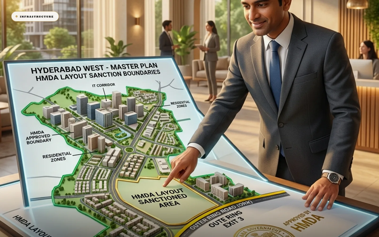
By making the periphery reachable, the ring made the periphery worth planning. Systematic layout approval extended deep into the ring's orbit. HMDA's jurisdiction and the DTCP framework gave peripheral land a paper identity it had not previously had.
The practical result is that a buyer in the western corridor today can insist on a sanctioned layout, a clean title and RERA visibility, and find real stock that qualifies. That was not the case for Hyderabad's outskirts a generation ago, when peripheral land meant informal land almost by definition. Much of what makes organised development possible here is administrative rather than physical.
Rings behave the same way everywhere, with two qualifications
Hyderabad's experience follows a pattern visible around orbital roads worldwide. The ring redefines the perimeter of the real city, interchanges become growth nuclei, and the land between the old edge and the new ring fills in over a generation.
Two qualifications are worth carrying into any local analysis.
Rings amplify what already exists; they do not conjure demand. The western arc grew because it touched an employment corridor. Arcs that touched less have matured more slowly, and no amount of concrete changed that.
And the fill-in is slow. Land inside a ring's orbit absorbs over decades, in waves, corridor by corridor. That cuts both ways for a buyer: missing the first wave is not fatal, but neither is arriving early a guarantee of anything on your own timeline. If your capital needs to come back in three years, this is the wrong asset in the wrong geography.
Not every arc repriced, and the reasons are legible
The ring's story gets told through its successes, which flatters the road and misleads the buyer. Parts of the loop have matured slowly, and the causes are visible rather than mysterious.
An arc with no employment anchor behind it has nothing to transmit. The ring can carry demand outward; it cannot originate demand, and a quadrant whose hinterland holds neither jobs nor institutions waits for both.
An arc whose feeder roads stayed narrow captured little. Value moves at the pace of the last mile, and a corridor where the connecting district road was never widened simply did not receive what the expressway delivered to its junction.
An arc constrained in land use moved differently again. Lake buffers, defence holdings, quarrying zones and acquisition notifications all remove land from the residential market regardless of how good the access is. Land that cannot be built on does not reprice as building land.
The practical use of this is diagnostic rather than gloomy. Before accepting any corridor's story, ask which of the three conditions it satisfies — an anchor behind it, a widened feeder to it, and land that is lawfully buildable. A corridor missing one of the three is a slower proposition than its brochure suggests, and one missing two is a different asset entirely.
Four questions to put to any parcel near the ring
Which exit serves it, and how mature is that exit's economy? An interchange with fuel stations, schools and occupied layouts around it is a proven valve. An interchange surrounded by open fields is a proposition.
What carries the last mile? The width and condition of the road that actually reaches the plot gate predicts more about the parcel's future than any brochure page.
What anchors the location besides the road? Out west the answers are employment within a commutable arc, education — IIT Hyderabad at Kandi, the school cluster near Mokila and Tellapur — and rail, in the form of Shankarpalli railway station. Roads move value. Anchors hold it in place when a road project stalls.
And is the land itself clean? The ring extended formality outward. It did not make every layout legitimate. Approval status, title and encumbrance remain yours to verify, with your own advocate, and on a site visit rather than from a satellite image.
Households eventually start thinking in ring-time
Price curves miss what the road feels like from inside a family that has organised its week around it.
For residents of the western corridor the ORR behaves less like a road than like a utility, switched on at the moment the car joins the carriageway. The morning run to the Financial District is planned by exit number. The pre-dawn airport drive is a known quantity rather than a gamble. The weekend trip across the city routes around the old congestion instead of through it.
That habit changes how people shop for land. Buyers now interrogate the entire journey — expressway leg, interchange, arterial, community gate — as one system, and they judge each link separately. A corridor that delivers a clean chain from ring to gate earns a loyalty that survives price increases, because a commute a household has already domesticated is something they are slow to give up.
The sequel is in draft, and should be read as draft
The Regional Ring Road, proposed at roughly 340 kilometres with its northern section approved as NH-161AA, would repeat the pattern at a larger radius. If it follows the original's grammar, interchanges become nuclei again, corridors with existing arterials and anchors reprice first, and the band between the two rings shifts from "beyond the city" to "between the rings".
Shankarpally and its neighbours sit in that band. That is a genuine structural position, and it is also an unbuilt road. Alignments move, sections get deferred, and land bought purely on a future ring is land bought on a hope with a survey number attached. Our fuller treatment is in what the RRR could mean for land.
Buy the network that exists, not the one on the map
The western corridor's connectivity case does not require faith. The ring is open, the commute is driven daily by people who can tell you how long it took this morning, the airport arc works. A plot in an HMDA-approved community near Shankarpally is a purchase inside a functioning network, at the network's growing edge rather than its expensive core.
The discipline that follows is short. Buy access rather than adjacency. Check the last mile yourself. Verify the paper before you fall for the corridor, because a good story attached to a bad title is the most expensive combination in Indian land.
Then decide on your own horizon, honestly. If you can leave capital in the ground for a decade, the ring has already done the hard part of the work. If you cannot, no corridor argument fixes that. Speak to our team if you want the corridor described from the ground rather than from a map.
Road alignments, timelines and approvals are subject to change by the relevant authorities. Verification of title and approval status is the buyer's responsibility, and land investments are subject to market conditions.