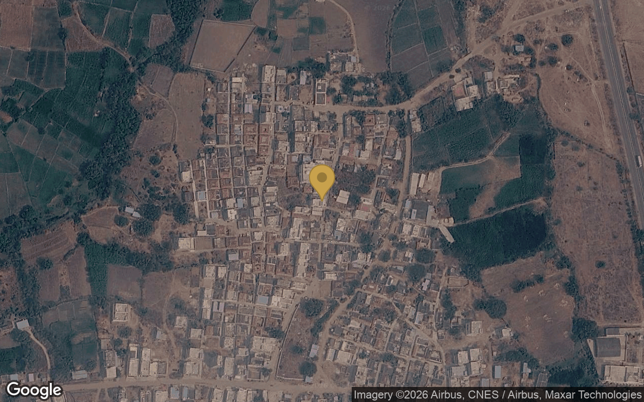
HMDA plots in Julkal
What the approval means here, how far the gate really is from the ring road, and which of our layouts are selling.
Julkal village falls under Kandi Gram Panchayat, Kandi mandal, Sangareddy district. Layouts here are approved by HMDA under the TG-bPASS process.
What HMDA approval covers, and what it doesn't
A sanctioned layout says the geometry is legal — roads, open spaces and plot dimensions conform to the approved plan. It says nothing about who owns the land or whether it is mortgaged. That is what the title chain and the encumbrance certificate are for, and we publish both per project.
The sanction approving the sub-division of land into plots, roads and open spaces. Comes with a proceedings number and an approved plan drawing — ask for both.
Where it sits
Straight-line distances from the centre of Julkal. Drive times are added once measured from a project gate.
Straight-line distances between map coordinates, not road distances. Drive times appear once measured.